Introduction
After our recent Kluang, Gunung Belumut & Gunung Lambak trip, we are headed to the Kota Tinggi area in Johor this time.
Our plan for the day trip included the following:
- Gunung Panti
- Kota Tinggi Waterfall
- Taman Buaya or Crocodile Farm
- Seafood Dinner
- Firefly Boat Ride
It might seem like a lot of activities for one day but as all the sights were nearby and we had a vehicle at our disposal, we were able to move at a rather leisurely pace.
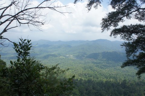
Gunung Panti, of course, was the key attraction for us.
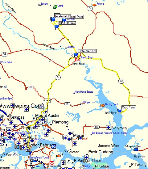
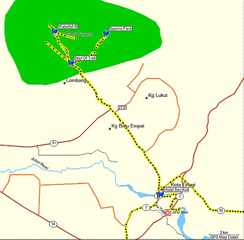
We brought along a GPS receiver and managed to track the route and waypoints shown below. If you would like a copy of the file in Garmin GDB format, just post a comment and I will send the download link to your email.
Gunung Panti
A chartered coach picked us up at 630am in Singapore and we arrived at Kota Tinggi Waterfall resort around 900am where we met our guide. Officially, we are required to obtain climbing permits and we did so through the guide. However, we didn’t get to see the permits and there was nobody at the mountain performing any checks.
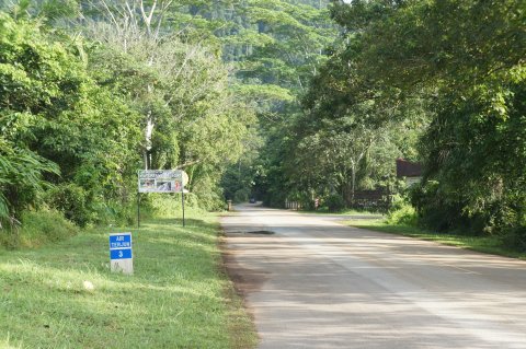
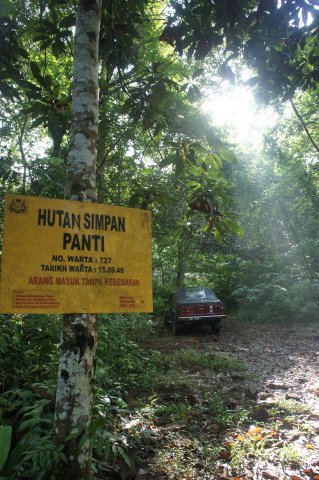
As can be seen from the map, the start of the hike was actually a few kilometers before Kota Tinggi resort. The entrance is a small side road with no obvious signs as shown in the following photos.
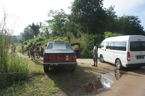
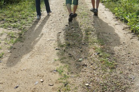
Off we go.
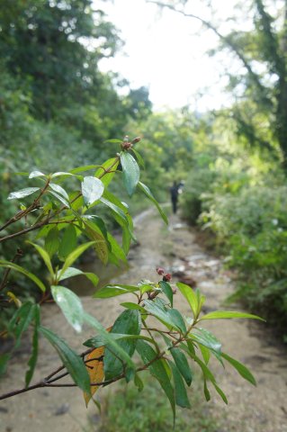
It was raining the days before and the path was muddy with puddles of water.
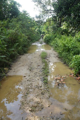
This is as far as a vehicle can go in through the side road.
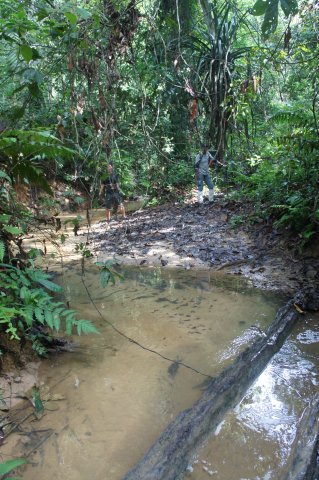
We carefully balanced ourselves on the logs as we did not want to get our shoes wet.
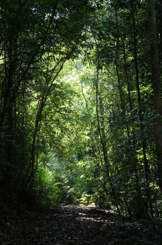
The slopes are gentle and it seemed like an easy hike.
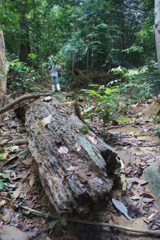
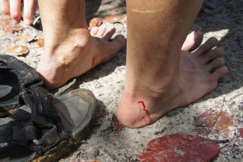
Until we realised how much infested with leeches was the mountain. The leeches at Gunung Panti were rather incredible creatures that crawled their way up our shoes and through our socks. After taking a bite of you, they clung on to you and even if you managed to remove them, you left a gushing wound. Hirudin and other chemicals secreted from the leech reduces surface tension and prevents quick clotting of the blood. Read all about the amazing leech at Wikipedia.
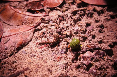
Not wanting to linger at any spot for too long, we quicken our pace.
The final stretch before the summit was an almost vertical wall where we had to climb up with the help of ropes.
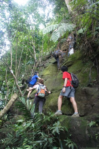
Finally, we reached the summit of Gunung Panti at 519m. It took us about 2 hours.
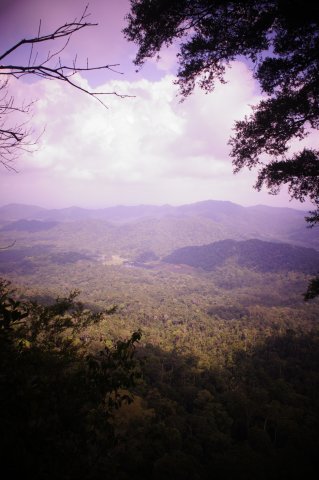
We checked our wounds. The winner went to BN who came in bermudas and sandals. The leeches inflicted more than 10 wounds on him.
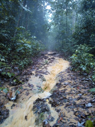
As we descended, it started raining. The trek became a stream of muddy waters.
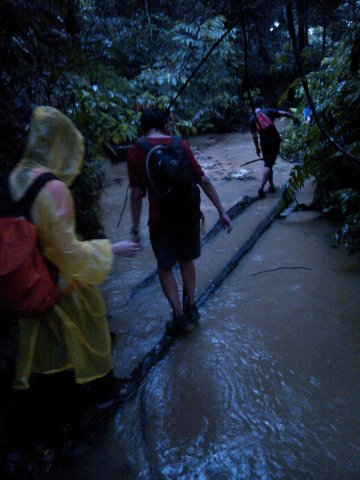
We were aching from the hike, wet from the rain and wounded from the leeches. But all was great fun and we were in high spirit! Okay, for me at least. 🙂
Kota Tinggi Waterfall
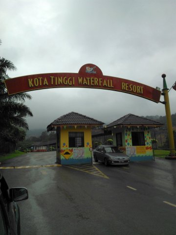
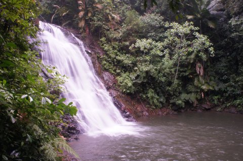
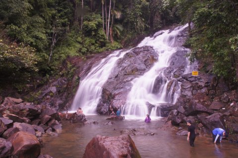
Since we were at Kota Tinggi Waterfall resort, we paid it a visit.
We dipped in the waters for a while and washed up. Some of us discovered more leech bites on our bodies. My count was seven.
Taman Buaya
Next, we visited a Crocodile Farm at Telok Sengat.

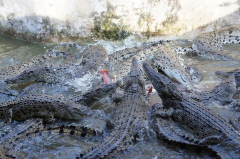
One can purchase chicken to feed the crocodiles.

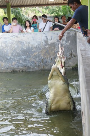
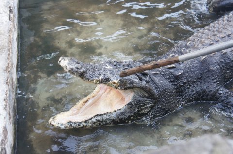
155 year old crocodile. Notice that it has no teeth. I think it’s blind as well.
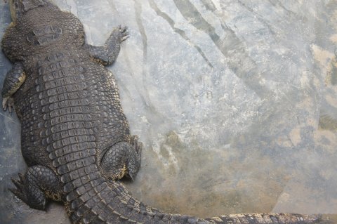
Obese or pregnant?
We happened to be there during feeding time.
Seafood Dinner
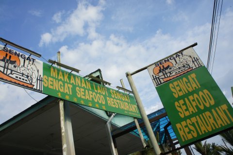
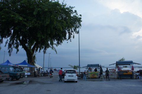
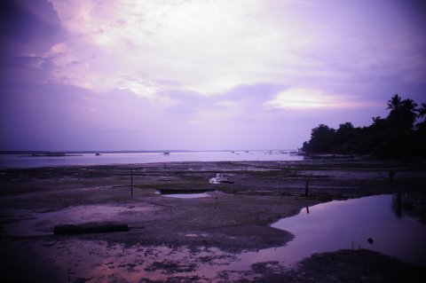
We had a sumptuous dinner at Sengat Seafood Restaurant located by the Johor river.
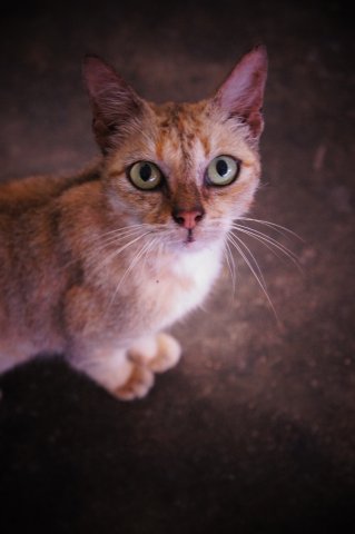
The resident cat looked at us with appealing (or threatening) eyes during dinner. Its efforts were not wasted.
Some photographs taken near the Johor river.
Firefly Tour
The finale for the day was a boat ride along Johor river near Kota Tinggi town to see the fireflies.

Thanks to Bob for the trip planning and G for the contact of the guide!
My in laws were in Kota Tinggi but i havent got the chance to do as what you did. My frequent trip was normally to Tanjung Balau and Pasir Gudang. Will definitely slot this in my next ‘balik kampung’ trip.
Hi Zara,
Nice blog you have with great pictures!
I haven’t came across Tanjung Balau before, would read up on it.
Hi,
looks a nice trip. Just wondering whether you took a guide with you when you trekked to the summit. I’m thinking of going with a few friends but none of us have been there before. Do you think its ok if we were to go without a guide?
Thanks!
Serene
Hi Serene,
We took a guide with us and paid the permits.
As mentioned, the guide didn’t show us the permits and there were no checks. Even though the route is mostly straightforward, the guide told us that hikers did lost their way before.
I think it’s best you hire a guide. If not, at least bring along a GPS receiver and get the route from me.
Hi Atticus,
Thanks for the reply. Could you give me the contact details of the guide or information on where I could get the guide?
Thank you!
Serene
Hi,
Nice day trip you had. I would like to the same. May I ask for waypoints file?
Best Regards,
Val
Hi Val,
Link sent to you.
Hi, is it possible to get the route you took as well? how much did you pay for the guide? Is there a place to pitch a tent there?
Thank you!
Baby Ruth
Hi Baby Ruth,
Route is sent to your email.
The fees depend on the number of pax you have. It’s better you contact the guide I have listed to have a feel of the price.
There is some flat ground on the summit and I saw some hikers carrying camping equipment. So I believe you would be able to pitch a tent. But do check with the guide for confirmation.
🙂
Hi,
Thanks for sharing your trip to Gunung Panti. Could you please send me a copy of your Garmin file?
Cheers,
bertille
Hi Bertille,
Link sent to your email. Have a great trip! 🙂
Hi Atticus,
I am interested in planning a trip for my colleagues and I as well but I am unsure of the packing list or guides. Did you stay over during your trip last year?
Three weeks ago we wanted to go gunung panti…. from singapore.
we found that waterfall…. but can’t find the enterance. … end up. .. we go to other mountain nearby….please advice me…. thank…
Hi Sally,
Heading towards the waterfall resort, the side road to the mountain is a few kilometers before that on the right. There are no obvious signs as you can see from my photos. The trek at the start is also not that straightforward so I think it’s better you get a guide. Or at the very least, please get the GPS tracks from me.
please send me your GPS files and the tariff for the guide, many thanks
Lee
Hi Lee,
Link sent to your email.
Pls send me a copy of your track file. Thanks
Hi Eddie,
Link sent to your email.
please send me your GPS files and the tariff for the guide, thank you very much
hi, nice to meet you. Nice blog you have with great pictures! thank you for ur sharing. tomorrow, i m going this trip with my friend, any advise for us? Hopefully everything get smooth in this “month”. thks
Hi Jia Ping,
Download link is sent to your email. For guide fees, please contact the guide directly.
Do wear proper gears to protect yourselves against the leeches.
And have fun! 🙂
hi atticus, do you mind sending me the gps location for gunung panti
Hi Joachim,
Link sent to your email. Have a great trip! 🙂
Hi atticus, was wondering if you had to inform any authorities before trekking in gunung panti? and if there is a need to, other than where could you get a permit to trek there?
Hi Joachim,
Officially you need a permit which we had as we used a trekking company.
thanks for the quick reply, do you mind giving me the contact details of the company?
Please refer to one my of earlier replies, the contact is there.
Hi, would appreciate if you could provide us with the GPS file. Thank you!:DDDD
Hii Atticus,welll nice blog post here,i wish you can send me a track log of this track,interested to explorer it TQVM
TQ in advanced
Regards From Me
Hi,
Link sent, have fun!
Hi Atticus, thanks for sharing! I can’t seem to find the contact details for your guide in this website.. Do you mind sending it to me pls? Thank you!
can you please send it to me 🙂
Ni, t
Thanks for sfaring your trekking trip.
Would like to have your GPS files.
Pls send me a copy of your track file. Thanks
Hi Q,
Have sent you the link. 🙂
Do you still have the coordinates? I wish to give it a hike but not sure there is the starting point. Thanks in advance!
Hi Kenny,
Sent you via email.
Hi Atticus, great blog post!
Would appreciate it if you could send GPS co-ordinates and guide contact info.
Alex.
Hi Alex,
Link sent.
hello, great travel blog 🙂 appreciate if you can send me the guide info and gps coordination. tq so much!
hi!
nice blog!
would you send me the links as well?
cheers!
Hi,
Thanks for sharing!
I intended to hike this mountain. Please send me the links and information needed.
Viyan.
Hello, could you kindly send the file to me please? your GPS coordinates and also contact numbers for the guide… appreciate it lots! Thank you!
Hi,appreciate it if you could send GPS co-ordinates and guide contact info.
Thank you very much!
Hi atticuse,
Please share your GPS file. Thank you.
Wann
Hi Atticus,
Inspiring journey! Planning a hike there over the weekend, mind sharing your GPS route with me as well?
Thank you in advance and wish you all the best!
Michael
Hi all,
If you need help arranging a mountain guide, permit and transport, please contact http://iwannatravel.com.sg. Thanks.
Hi, nice travel blog. Plan to go there this weekend. Really appreciate if you can send me the guide info and GPS coordinate. TQ so much!
Hi !
Can i have the contact no of guide ? I’m doing a project under university and it’s quite safe if we just go without guide
Replied via emails. 🙂